Regional growth, convergence, and inequality — spatially, in Python.
geometrics builds on the PySAL family and wraps the standard analyses of the regional-convergence literature into easy-to-apply functions that return interactive Plotly figures, publication-quality Great Tables, and tidy DataFrames. It pairs an Explore / Analyze / Learn workflow with a built-in teaching layer that interprets and explains every result, and three no-code apps. It is built for students, teachers and applied researchers alike.
🗺️ Explore
Map and describe your regions: classified and animated choropleths, spatial-weights connectivity, Moran scatterplots and LISA cluster maps, and space-time views.
🚀 Launch app · ▶ Open in Colab
🧮 Analyze
Estimate the models: β-, σ- and club convergence, spatial econometric models with impacts, Markov and spatial-Markov dynamics, Gini/Theil inequality with spatial decomposition, and GWR / multiscale GWR.
🚀 Launch app · ▶ Open in Colab
📚 Learn
See the ideas behind the methods: 11 runnable concept sandboxes where you tune a known truth, a 30-topic explainer index, and a plain-language reading on every result.
🚀 Launch app · ▶ Open in Colab
Try the apps in your browser
No install, no code — the three geometrics apps run the whole workflow in your browser: point-and-click maps and models, sortable tables, and reproducible exports. Each is the no-code companion to a docs case study.
🗺️ Explore app · 🧮 Analyze app · 📚 Learn app
What’s inside
Maps & ESDA — classified / animated choropleths, spatial-weights connectivity, Moran scatterplots, LISA cluster maps, and Moran’s I over time.
Space-time dynamics — cross-sectional distribution evolution and entity-by-time heatmaps.
Convergence — β-convergence with OLS or spatial estimators, σ-convergence, and Phillips–Sul convergence clubs with club maps.
Spatial econometrics — the spreg suite, LM diagnostics with model recommendation, and alternative-weights robustness.
Distribution dynamics — Markov and spatial-Markov transition analysis.
Inequality — Gini / Theil trends with spatial decomposition, and Theil between/within decomposition.
Local models — GWR and multiscale GWR with mapped local coefficients.
Concept sandboxes — 11 teaching functions that simulate data from known data-generating processes.
Bundled case studies
geometrics.data ships two ready-to-analyze case studies:
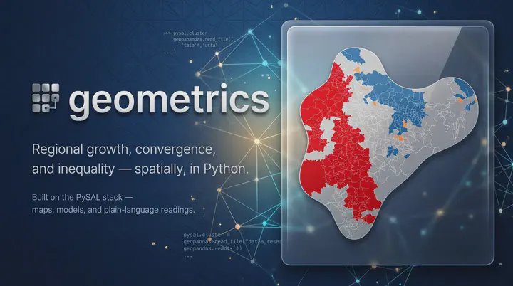
- India — 520 districts, satellite nighttime lights (1996–2010):
gm.data.load_india(),load_india_states(). - Bolivia — PWT-anchored local GDP (2021 PPP US\$, 2012–2022) at three geographic scales:
gm.data.load_bolivia()(112 provinces),load_bolivia_departments()(9 departments), andload_bolivia_grid()(1,603 cells).
Installation
Install the latest release from PyPI (the core install covers most workflows; extras add the Markov dynamics, the no-code apps, and PNG export):
pip install geometrics                 # core
pip install "geometrics[dynamics]"     # + Markov / spatial Markov (giddy)
pip install "geometrics[streamlit]"    # + the three no-code apps
pip install "geometrics[all]"          # everything, incl. PNG export
Requires Python 3.11+.
At a glance
Load a bundled case study, attach its variable labels, and map it — every figure is an interactive Plotly object:
import geometrics as gm

# India — 520 districts, satellite nighttime lights (1996–2010)
gdf, df, df_dict = gm.data.load_india()
df = gm.set_labels(df, df_dict, set_panel=True)

# A classified choropleth of nighttime lights in 2010
gm.explore_choropleth_map(df, "ntl_total", gdf=gdf, period=2010).fig
Estimate convergence and let it explain itself — β- and σ-convergence, each with a plain-language reading:
beta = gm.analyze_beta_convergence(df, "ntl_total", model="ols")
print(beta.interpret())          # plain-language, associational reading

sigma = gm.analyze_sigma_convergence(df, "ntl_total")
Learn as you go — concept sandboxes and explainers:
gm.learn_beta_convergence(convergence_rate=0.02)  # a runnable concept sandbox
print(gm.explain("spatial_autocorrelation"))      # a concept explainer; gm.list_topics() lists all 30
Head to Explore, Analyze and Learn to see every function in action.
Built on
geometrics stands on the PySAL spatial-analysis ecosystem and the modern Python data stack:
- PySAL —
libpysal(weights),esda(Moran’s I / LISA),giddy(distribution dynamics),inequality(Gini / Theil),mapclassify(choropleth classification),spreg(spatial regression), andmgwr(multiscale GWR) - geopandas — geospatial dataframes
- Plotly — interactive figures
- Great Tables — publication-quality tables
Acknowledgement
geometrics is developed at the QuaRCS Lab (Quantitative Regional and Computational Science) and stands on the shoulders of the PySAL project, geopandas, Plotly and Great Tables. If you use geometrics in your research, please cite the repository (see CITATION.cff) and the underlying PySAL packages.
Carlos Mendez
Associate Professor of Development Economics
My research interests focus on the integration of development economics, spatial data science, and econometrics to better understand and inform the process of sustainable development across regions.