geo4bolivia
How has development changed across Bolivia’s municipalities, and where does it cluster? geo4bolivia loads the observatory’s data in one line and answers with maps and spatial analyses in Python.
Open-source Python packages for regional, spatial and panel-data analysis.
How has development changed across Bolivia’s municipalities, and where does it cluster? geo4bolivia loads the observatory’s data in one line and answers with maps and spatial analyses in Python.
What patterns and relationships hide in your panel data? expdpy reveals them in Python, with Plotly figures, publication tables, and no-code Streamlit apps.
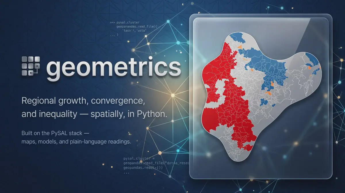
Are poorer regions catching up, and is inequality falling? geometrics answers with spatial methods in Python, Plotly figures, and no-code Streamlit apps.
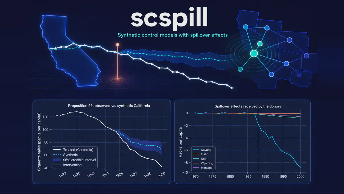
Did a policy really work if it also affected the comparison regions? scspill, a Python package, estimates both the true effect and the spillover to them.